

|
Coral reef monitoring to help coastal communities make evidence-based management decisionsCoral reef ecosystems have declined severely in the last few decades and understanding how they change over time is critical to better manage this natural resource.
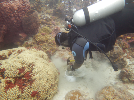
Photogrammetry uses a series of overlapping images along with spatial markers to construct a 3D model of the reef. The resulting model is detailed enough to identify coral and other organisms, and can be used to document coral growth, recruitment, disease and death. Crucially, once we have a time series, we can go back to old 3D models to gather data about the reef at various times, as new conservation questions emerge. We are setting up a coral photogrammetry program in the Grenadines, a region that has relatively little data on coral reefs compared to other regions. We work work with local partners to establish long-term monitoring plots, from which we can extra data which can be used by local environmental resource managers. |

|
Accurately measuring sedimentation rates on Eastern Caribbean coral reefs
The islands of the Eastern Caribbean are volcanic and steep. Activities that remove natural vegetation (such as agricultural development and unpaved roads) lead to increased erosion in the watershed, and high sedimentation rate in coastal ecosystems. While we know that excess sediment is detrimental to coral, actual sedimentation rate has been historically quite difficult to measure accurately. During our 2018 Eastern Caribbean expedition, we deployed relatively new devices that measure sedimentation rate more accurately than possible in the past. These allowed us to quantify sedimentation rate at 45 reef sites that span a range of coastal development, and assess the relationship between sedimentation rate and coral reef health. Thanks to National Geographic for funding that made this project possible! We are now working on finding funds to sustain these sediment monitoring projects and eventually expand them to other islands.
|

|
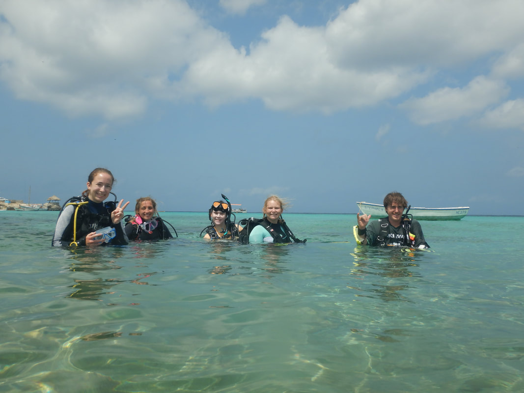
Linking service-learning field courses with community partners throughout the Eastern CaribbeanOne difficulty in managing marine protected areas (MPAs) is that there is often not enough time, resource and funding for robust monitoring programs which allow managers to understand how the protected ecosystems are changing over time, yet this information is critical to make good management decisions. On the other hand, many marine biology students want to gain field experience and need practice surveying coral reefs and other marine ecosystems. Chantale has led many field courses in the Caribbean, in which students learn how to identify reef coral, invertebrates and fish, and how to conduct various reef surveys. Since 2018, she has teamed up with various community partners so that surveys completed by students in the courses are done in areas that are especially worthwhile for marine park managers, and to analyze and present results to these managers. We are now working on building new partnerships throughout the Caribbean, to facilitate field courses being held in various locations to collect data in many more places.
|
Our work platforms
We work in a number of ways, but sailing is often a great way to get to our field sites while carrying our home and equipment, in a much more sustainable way that we could do by flying from site to site. S/V Maia Sophie allowed us to carry out our 2018 Expedition. Since then we have worked from land bases on various islands, which makes it a bit difficult to reach more remote destinations. Thorne Yacht Designs has designed a vessel which we hope to build in the future, to allow us to carry out many more expeditions.
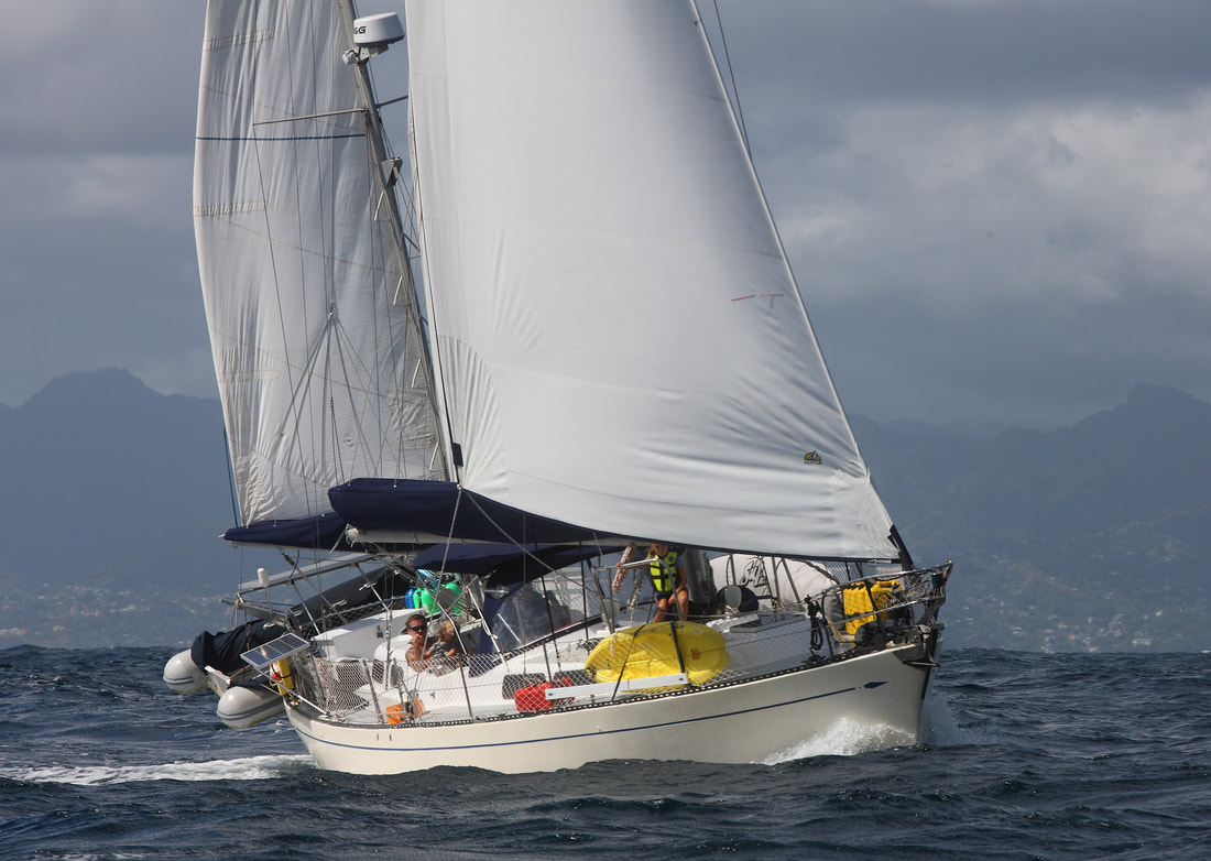
Our past vessel and work platform, Maia Sophie
|
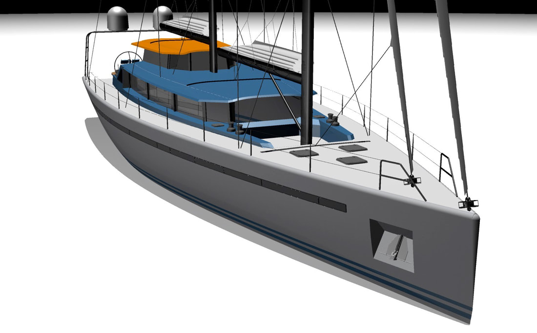
Our future vessel, designed by Thorne Yacht Designs
|